
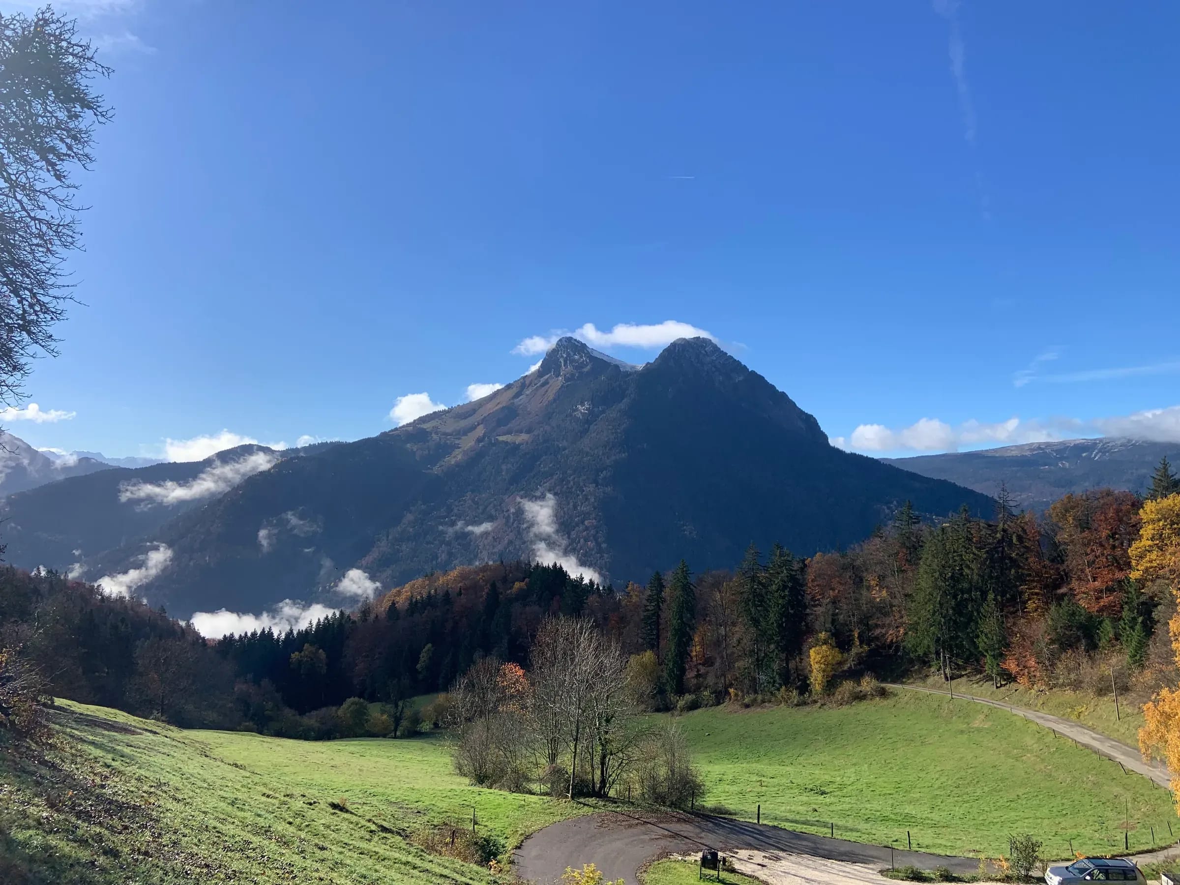
Sécurité
Reading the mountain weather before you go
Summer storms, fog, wind on the ridges: how to read a forecast and make the right call, the day before and on the trail.
2 min read
In the mountains, the weather decides almost everything: the route, the start time, sometimes cancelling altogether. A lovely day at Lake Annecy can hide a 3 pm thunderstorm over the Aravis. Here is how I prepare every outing.
Good sources
- Météo-France’s mountain forecast for Haute-Savoie: temperatures at altitude, freezing level, ridge winds, storm risk.
- Several models compared rather than a single app: if they disagree, uncertainty is high.
- In winter, the avalanche risk bulletin (BERA), even for a snowshoe outing.
Reading between the lines
A summer “risk of afternoon thundery showers” really means: start early, reach the summit before noon, be back down or sheltered by mid-afternoon. Cumulus clouds building up late in the morning are the first warning.
Wind and wind chill
A 40 km/h wind at 5 °C feels close to -2 °C. On an exposed ridge like the Semnoz, the wind tires and chills you far more than the cold itself.
On the trail
Keep an eye on the sky: thickening haze, a shifting wind, a sudden drop in temperature often signal a change. Set yourself a turn-around time and stick to it.
Read next
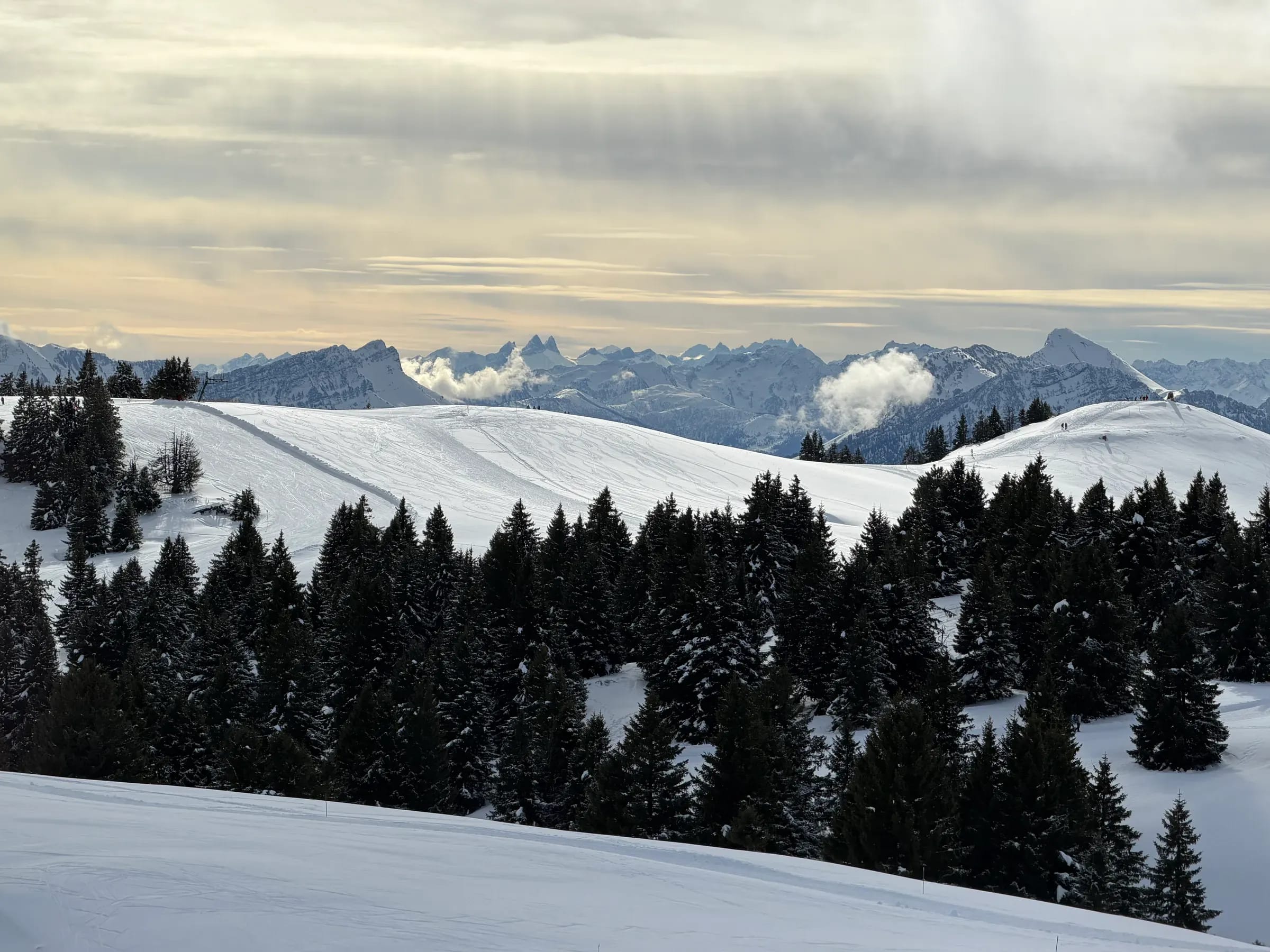
Hiver
Getting started with snowshoeing
Snowshoeing is winter hiking that anyone can enjoy. Technique, gear, safety: the keys to a successful first outing.
· 2 min read
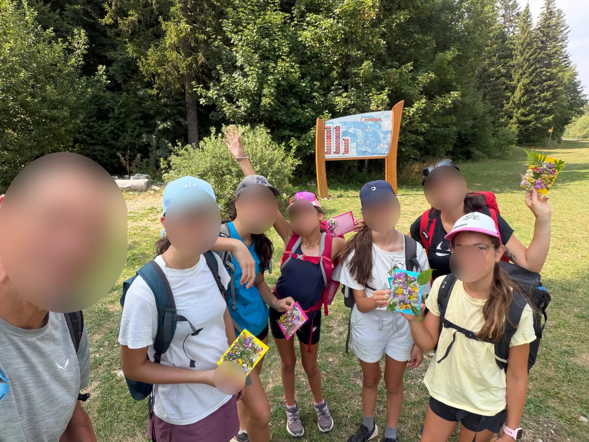
Famille
Hiking with children: helping them love the mountains
Right-sized distances, breaks that matter, games along the way: how to turn a hike into an adventure your kids will ask for again.
· 2 min read